All | Little | Shorter | Standard | Longer | Tors | Relics | History | Links | Panoramas | Home
|
||||||||||||||||||||||||||||||||||||||||||||||||||||||
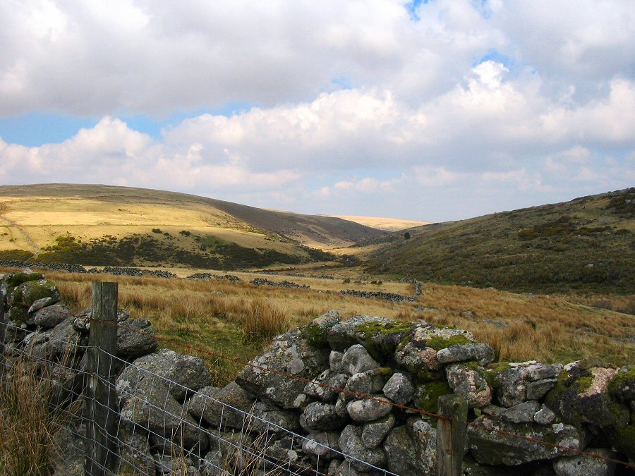
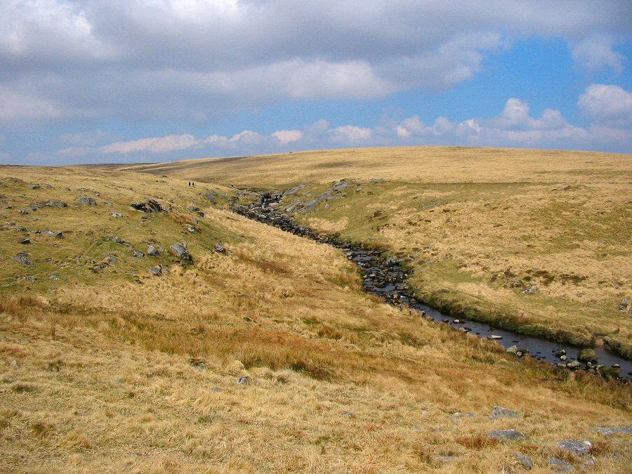
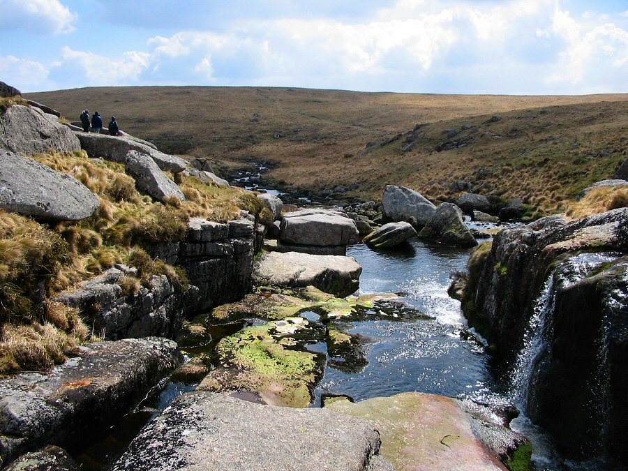
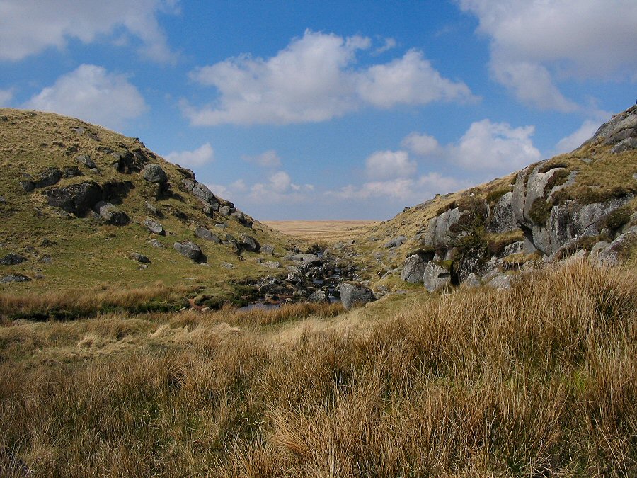
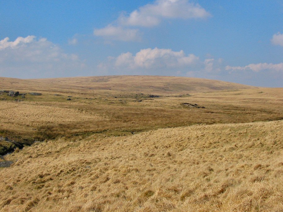
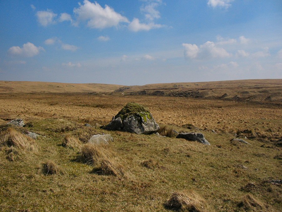
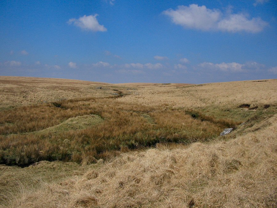
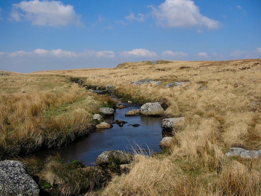
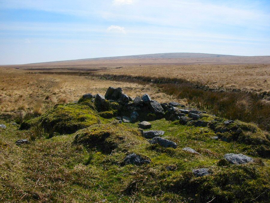
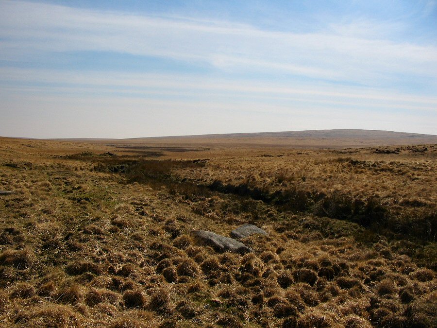
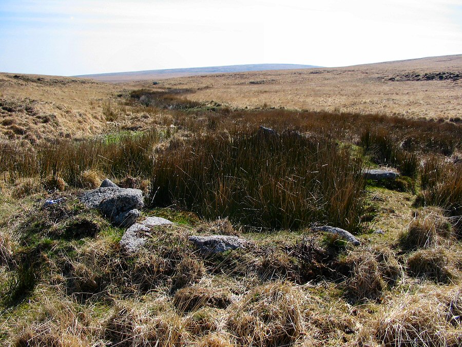
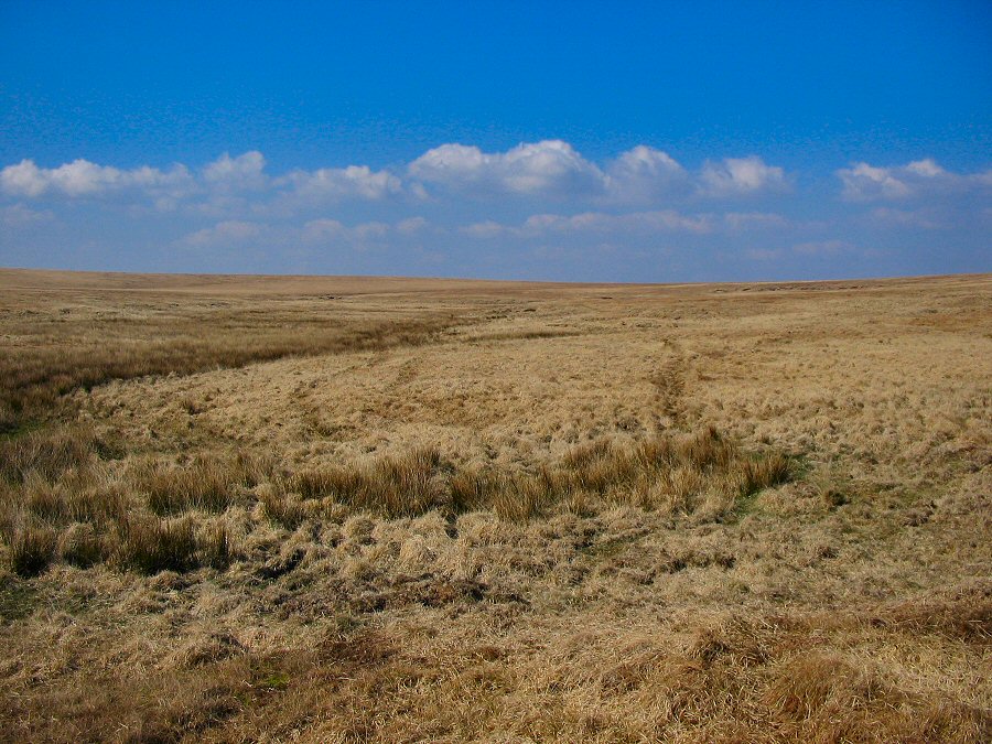
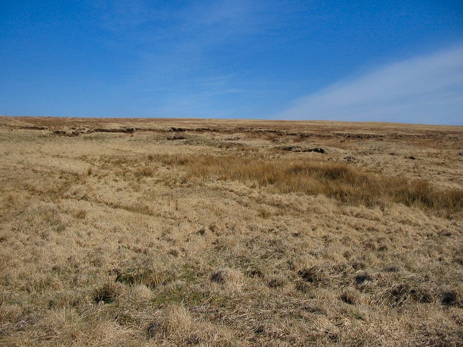
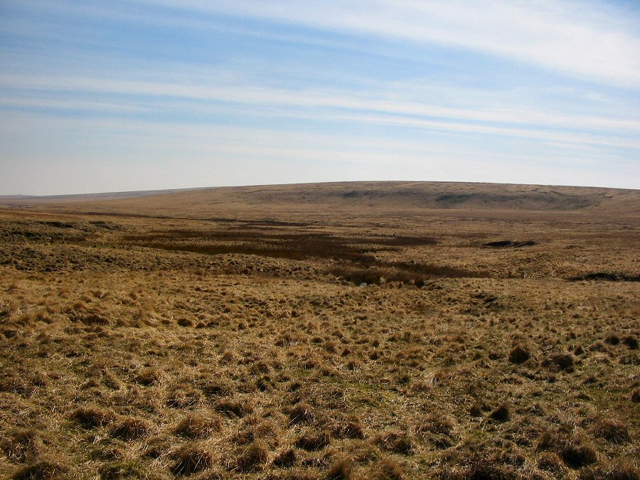
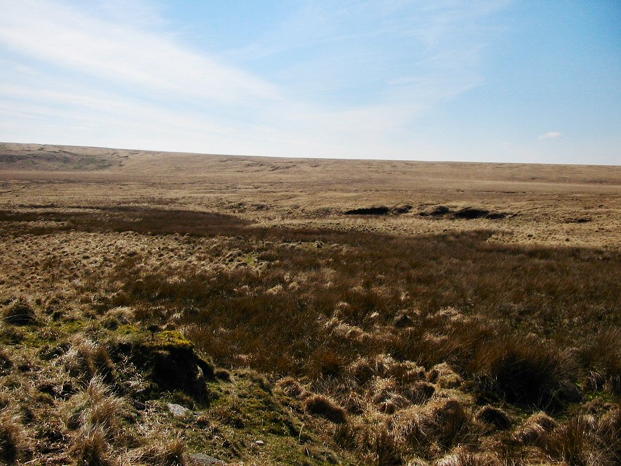
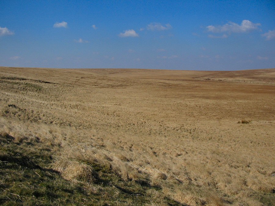
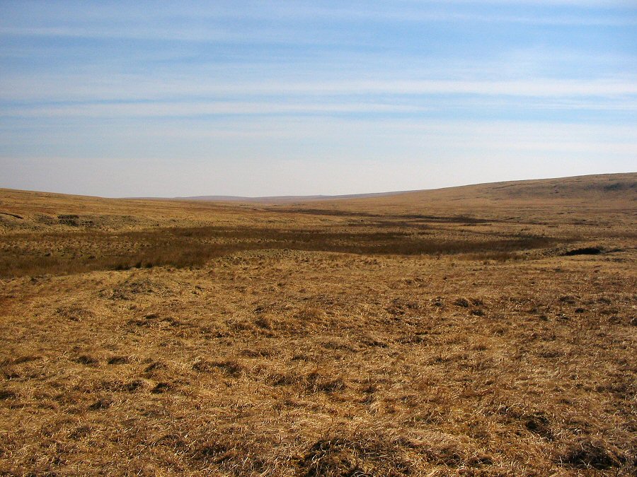
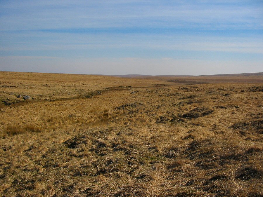
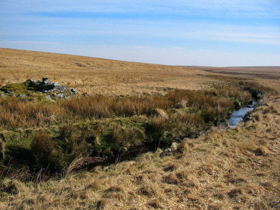
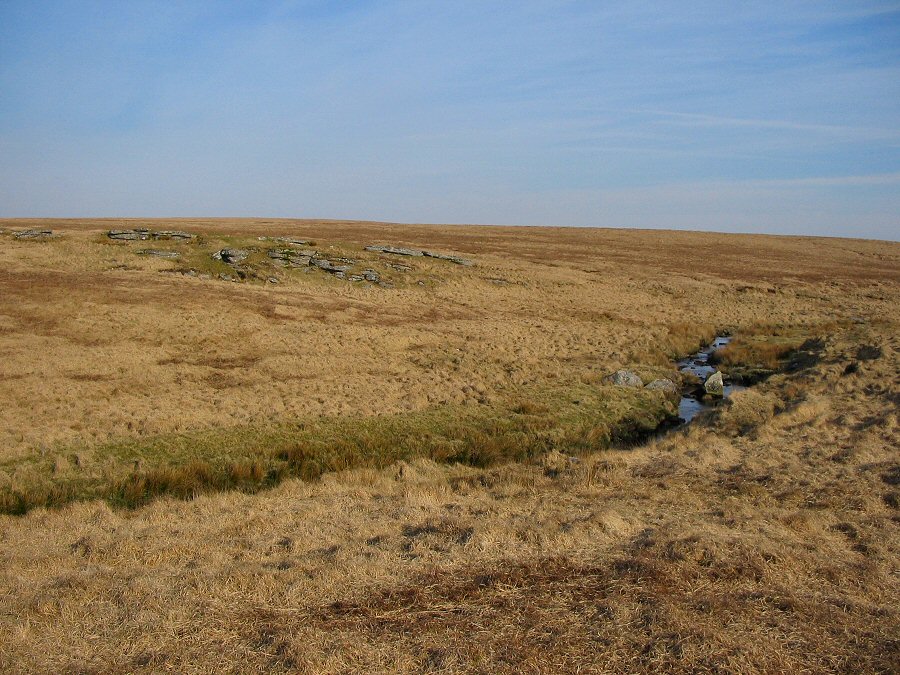
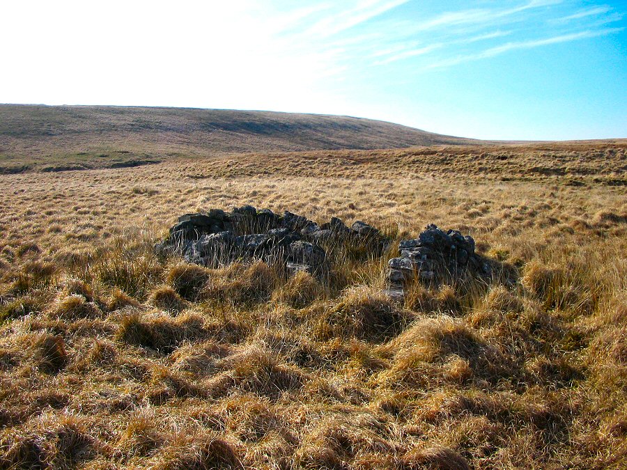
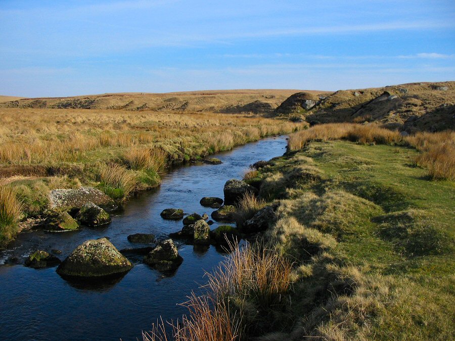
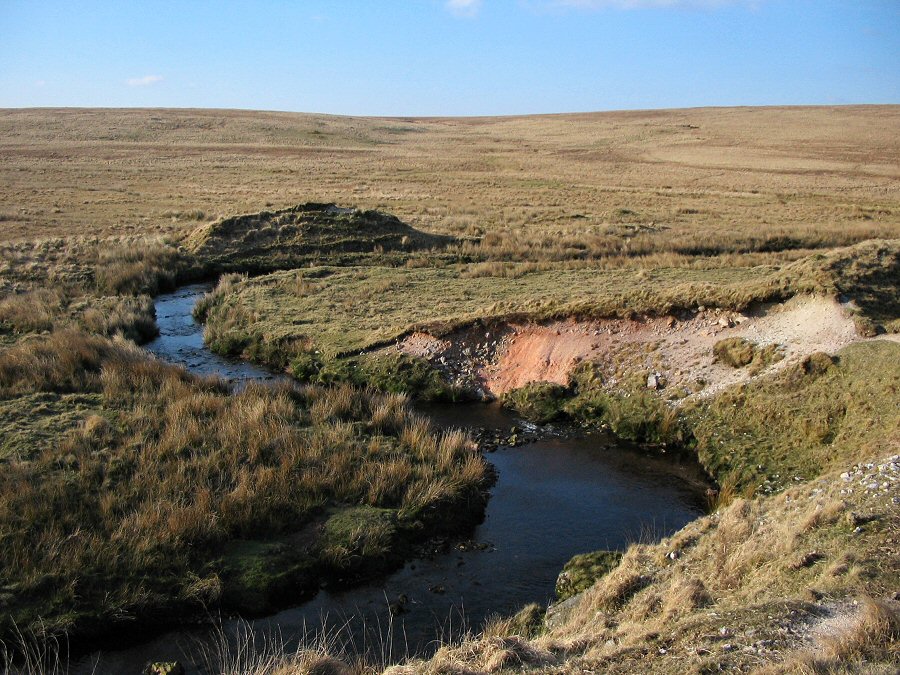
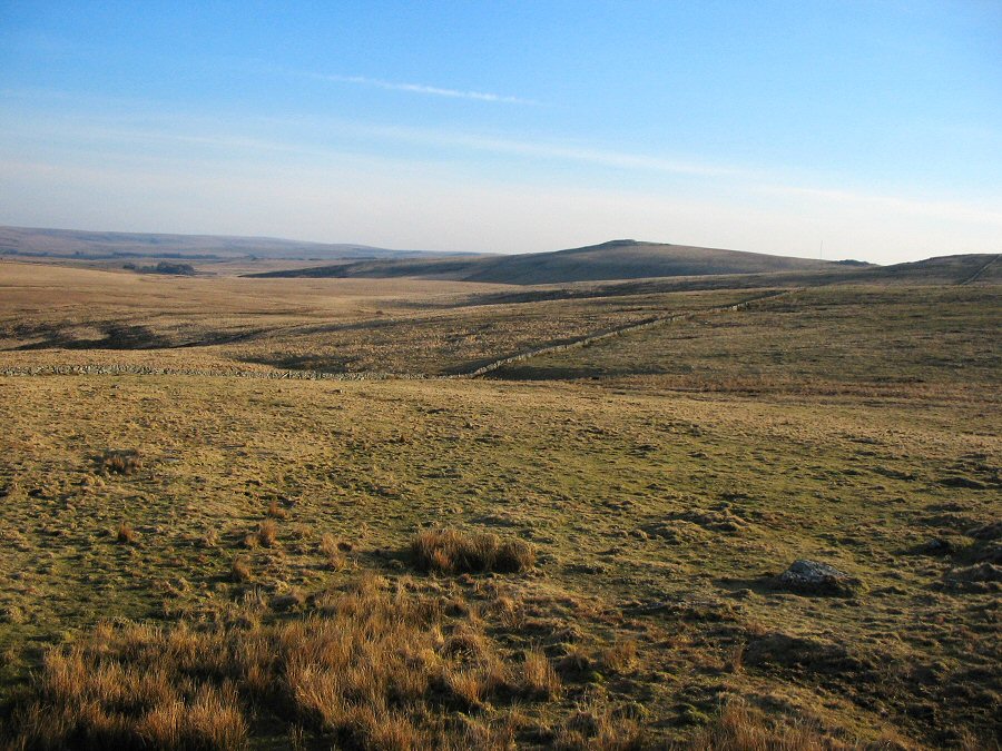
Up and down the upper East Dart valleyThe upper East Dart valley is one of the most inaccessible parts of Dartmoor but is probably the inner heart of the moor. East Dart head consists of a large bowl that drains a substantial part of high Dartmoor. There are 3 or 4 tributaries of the river that join up and merge at the southern edge of the bowl. East Dart head can be a very lonely and eerie place to be. The pictures of this walk were taken on a bright April afternoon. It would be a very different experience on a dull and misty November morning.Start from Drift Lane SX 646788 at Postbridge and walk over Broadun to Sandy Hole Pass. Skirt around the wet ground of Broad Marsh, rejoin the East Dart at Kit Steps and walk upstream past Kit Rocks on the east bank. The ground now gets a little more overgrown and you are certainly more isolated. It's about 1.5 miles from Kit Rocks to the bowl of East Dart Head. Once there you can walk around the bowl and then return on the west side of the stream. You may need to cross over from time to time since parts of the west bank can be wetter ground. Before you get back to Kit Steps you may want to search for the Cut Lane tinner's hut. At Kit Steps cross over to the west bank and follow the path back to Broadun via Sandy Hole Pass and the waterfall.This walk is about 12 miles and is not trivial. The upper East Dart is very isolated and it would be easy to get confused in misty weather. A map is absolutely essential and it is strongly advised to do this walk for the first time in good conditions. This walk took place in early spring when the grass was easy to walk over. By late summer the ground would be more overgrown and harder to walk. Much of the upper area lies within the army training grounds.
|
||||||||||||||||||||||||||||||||||||||||||||||||||||||
All | Little | Shorter | Standard | Longer | Tors | Relics | History | Links | Panoramas | Home | ||||||||||||||||||||||||||||||||||||||||||||||||||||||