 |
The path leading onto Cator Common at SX 675773
|
 |
Remains of a cairn on Cator Common - SX 675780. |
 |
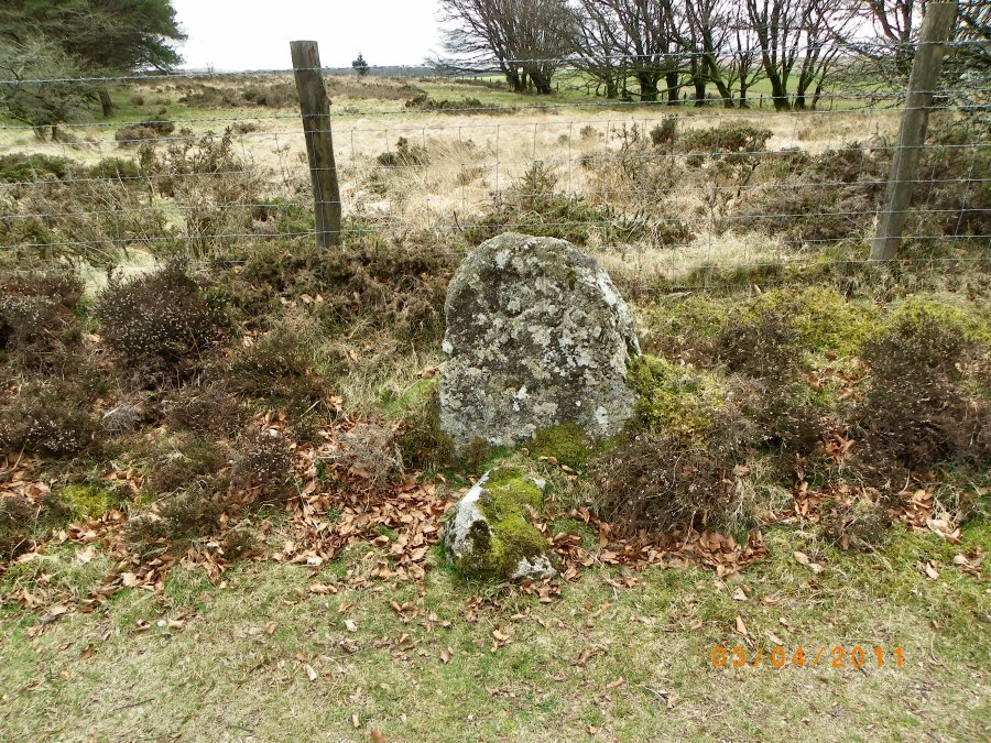
A Cator Boundary stone situated on the road verge. The stone is inscribed CB. |
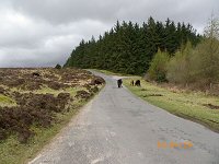 |
Dartmoor ponies on the road near to Ephraim's Pinch - SX 678786. Who was Ephraim and why the Pinch? The story goes that Ephraim was a young man who wanted to marry a farmer's daughter. The challenge from the farmer was for the suitor to carry sacks of corn on his back from Widdicombe to Runnage farm for milling. This Herculean task proved to be too much for Ephraim and he perished near to the patch. Some versions of the story say that Ephraim simply flung the sacks down. The Pinch is a short steep hill. |
 |
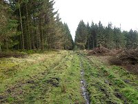
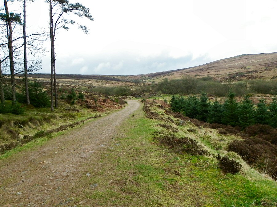
The path leading to Sousson's Farm. |
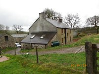 |
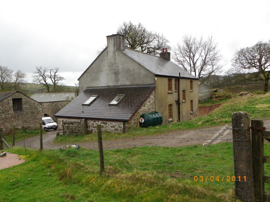
Sousson's Farm - SX 684790. This farm was originally a warren house. The warren is now covered over by the nearby conifers. |
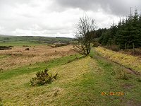 |
The path beside Soussons Warren at SX 683793 |
 |
Heading down towards the Golden Dagger Mine. The mine was set up around 1850 and the colourful name is doubtless derived from a prehistoric golden dagger that was found in a barrow on nearby Hameldown. The mine finally closed in 1930. Old photos of this mining area show a rather different landscape with very few trees. |
 |
The remains of the Miner's dry - SX 683803. This is where the miners would come to dry themselves and their clothes off after their mining shift in the wet adits. |
 |
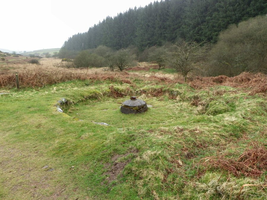
The Golden Dagger buddle - SX 685797. This was used to concentrate the tin ore. A launder (or water channel) would lead crushed ore and water to the top of the cone. From there the ore would be spread out by the current and would settle in the circle beneath. The heavier better ore would be nearer the centre. The ore would then be transferred to the dressing floor. |
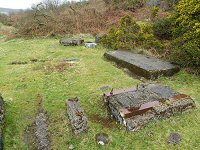 |
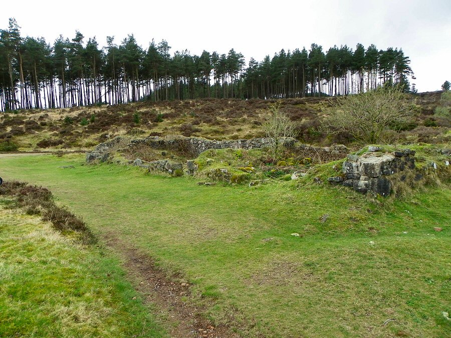
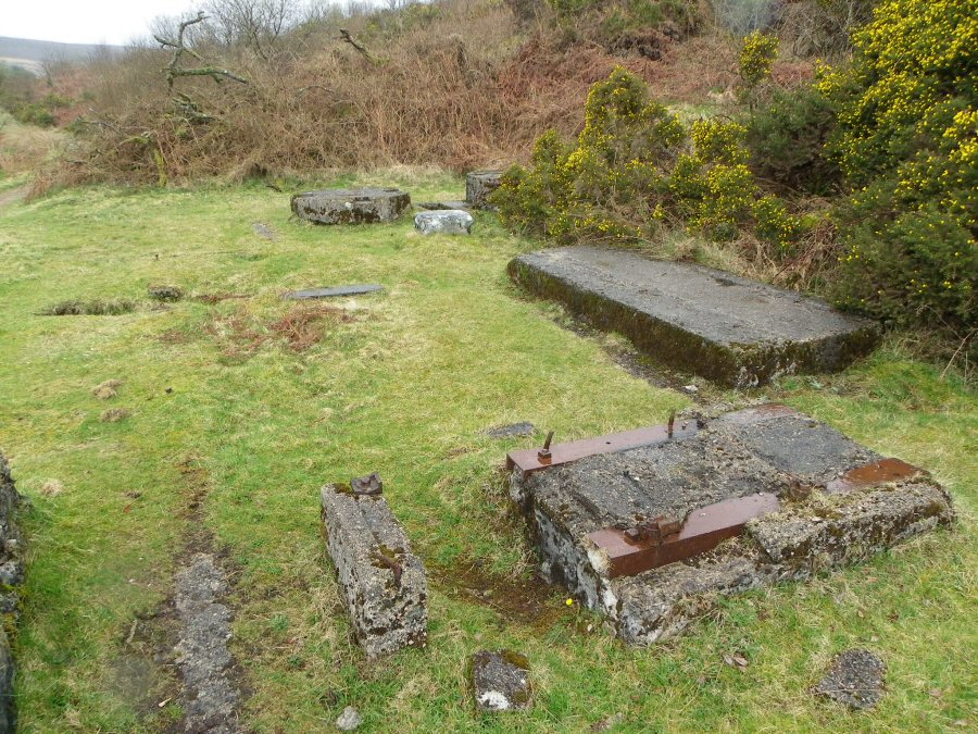
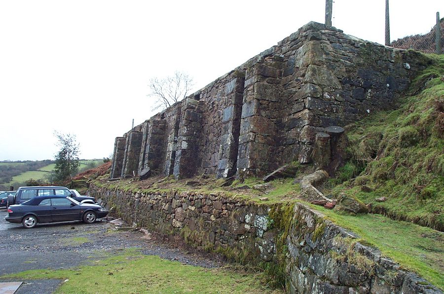
Remains of the Engine house - 1920's. Originally this was roofed over with corrugated iron. As well as the engine, the building contained an office, a store, a workshop and tin dressing floors. |
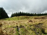 |
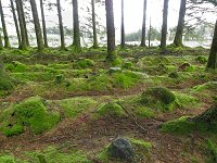
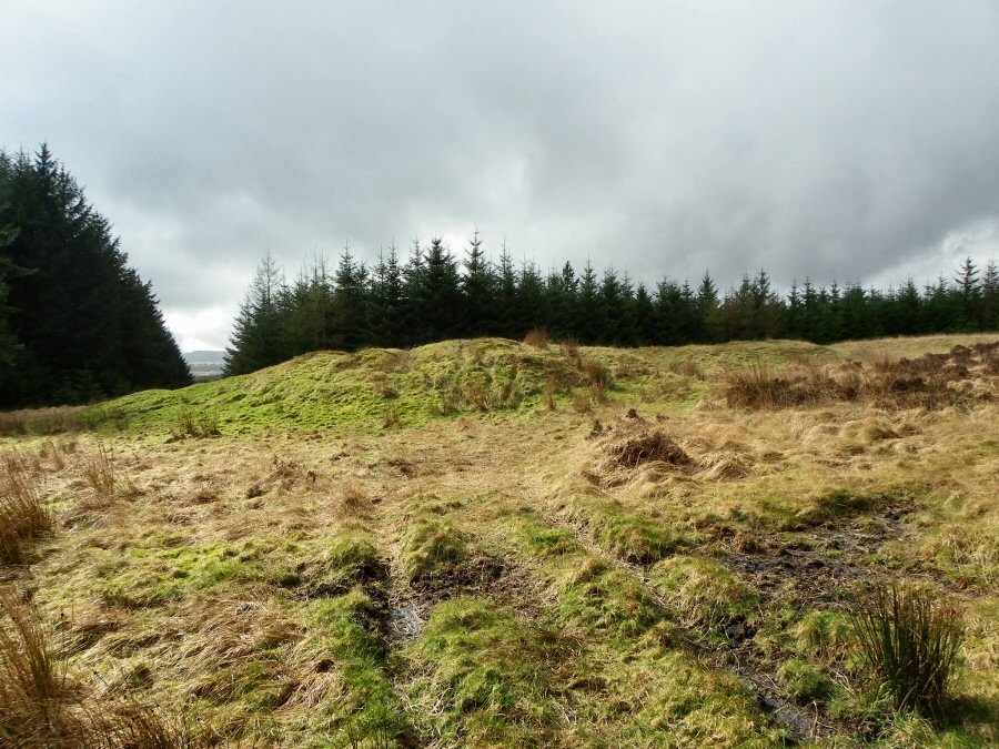
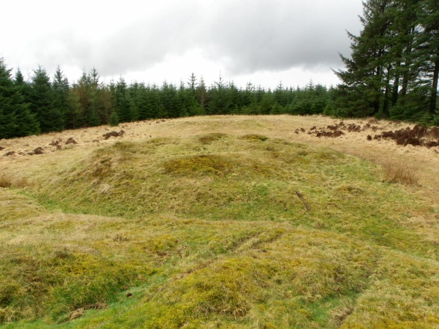
The Red Barrows. These are prehistoric tumuli within the Soussons plantation at SX 678798. There are 4 of them situated in a N-S line. They were partly excavated in 1903 and some burnt human remains and other fragments found. The barrows cover stone burial chambers. |
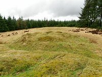 |
Another view of the tumuli. |
 |
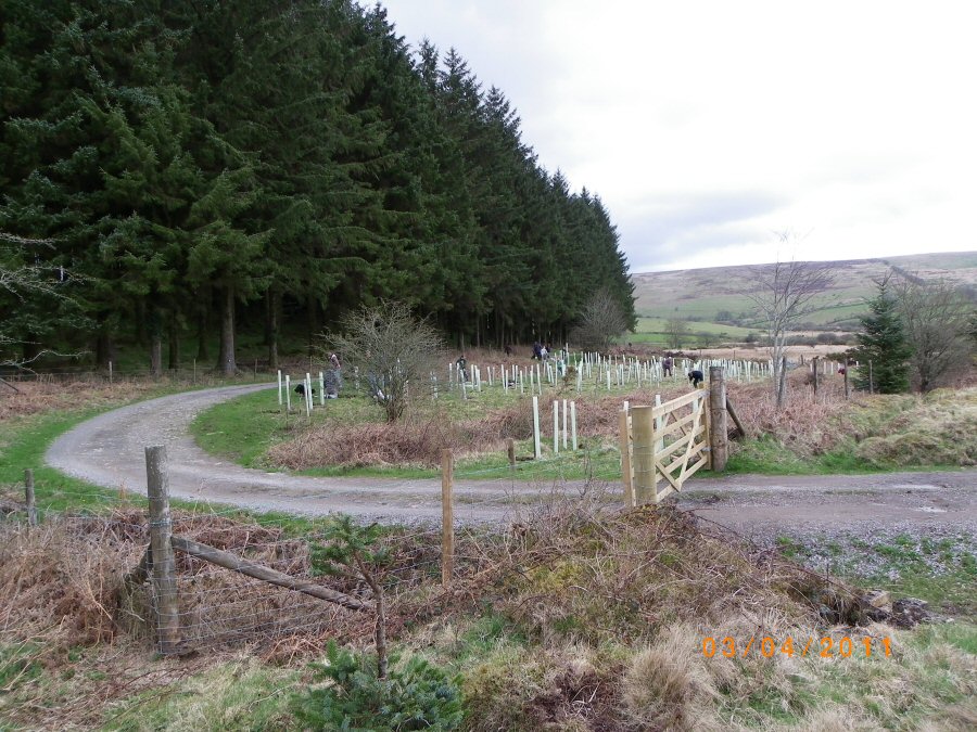
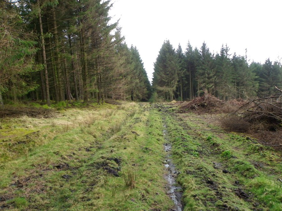
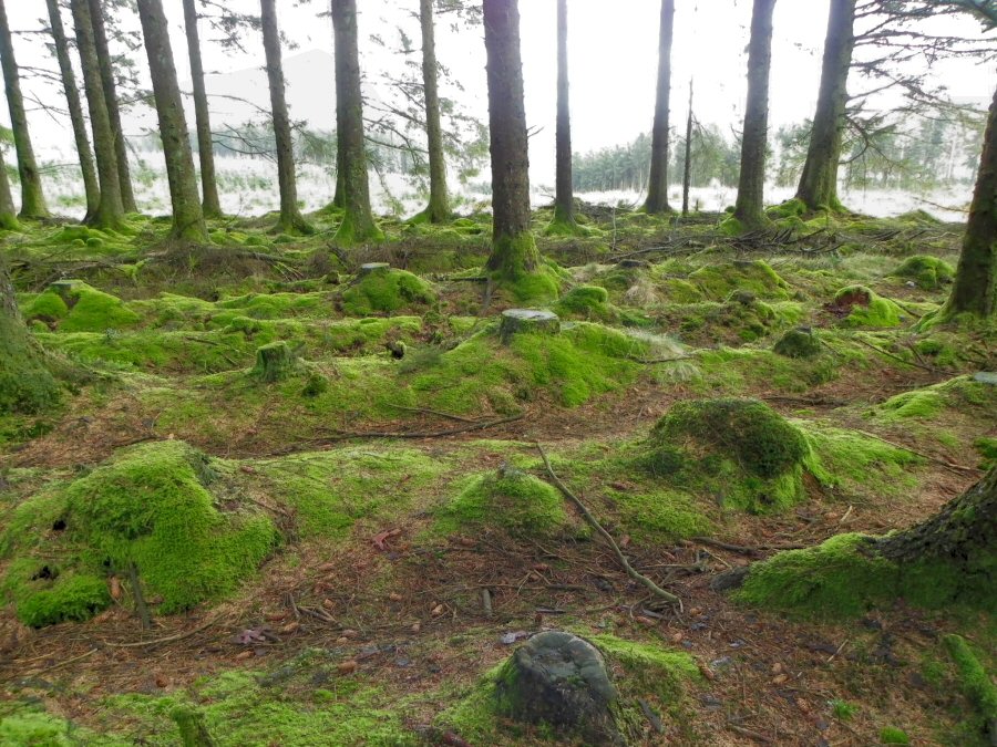
Inside the Soussons plantation. There's a lot of Sitka spruce here. |
 |
Trees inside the Soussons plantation. |
 |
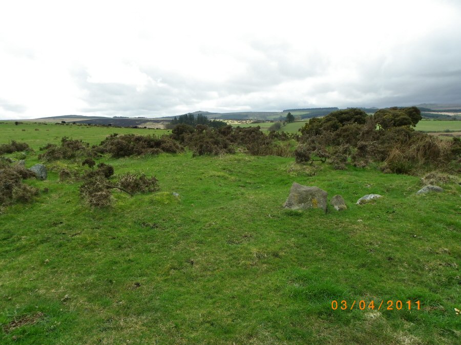
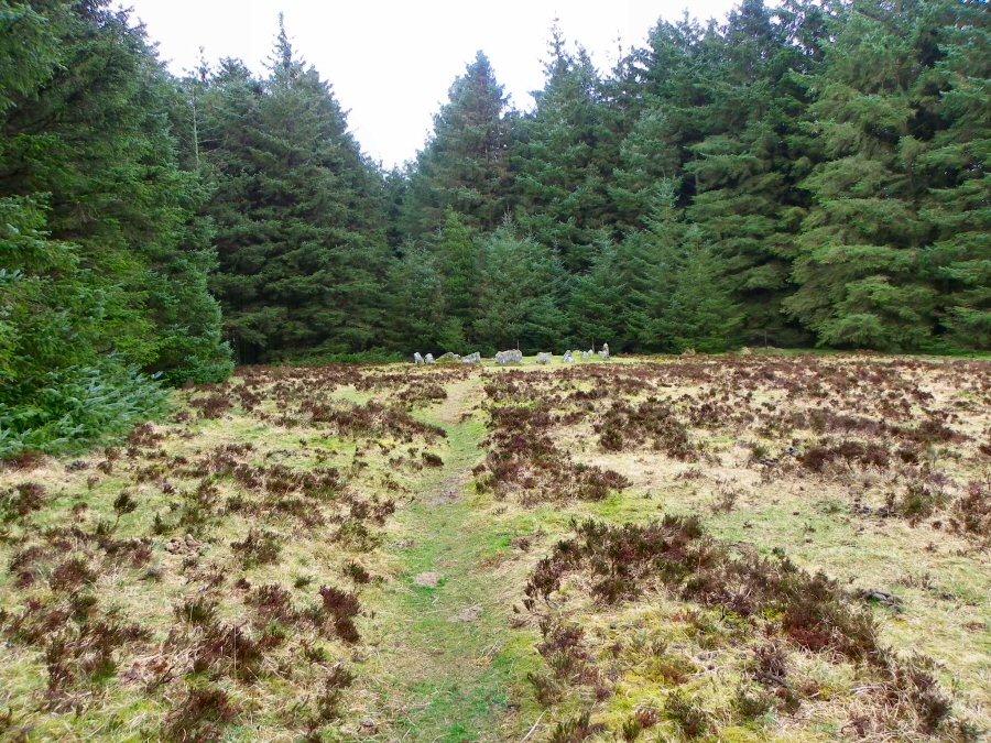
Approaching the Soussons stone circle. This is sometimes known as the Ring of Stones or Ringastan. |
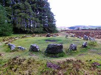 |
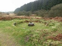
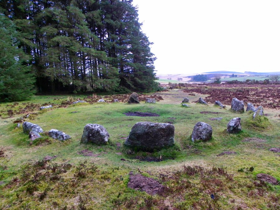
The Soussons stone circle is a cairn circle dating to the Bronze Age. The 9m circle consists of 22 stones with the remains of a kist at the centre. This circle is very near the road so it is visited rather more often than other Dartmoor circles. |
 |
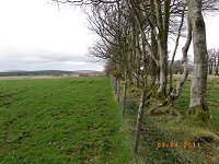
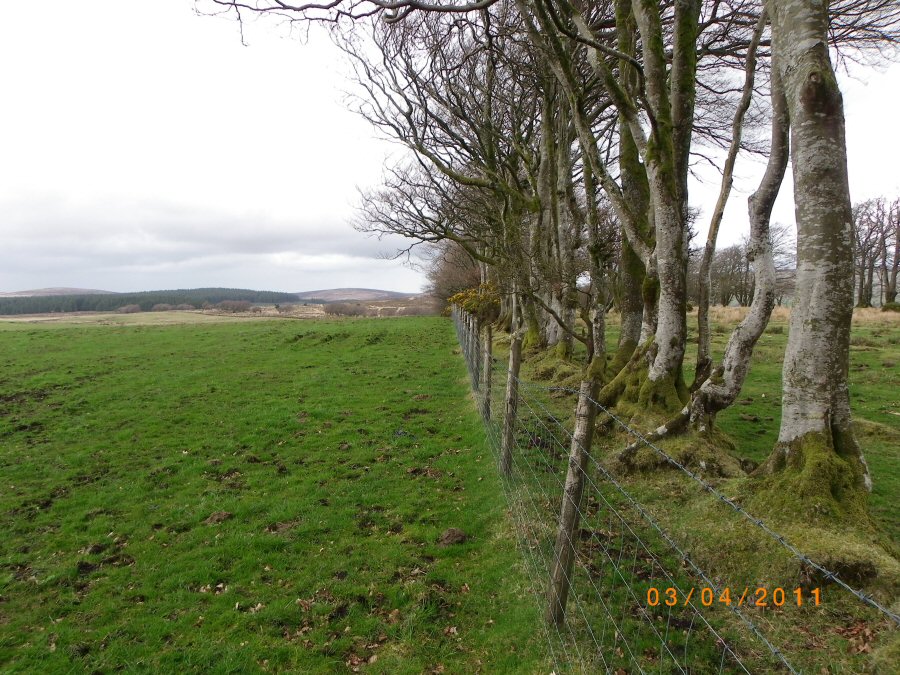
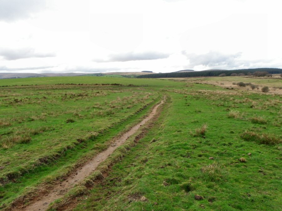
Cator Common. |

